
Posted on May 8, 2019
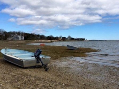
EASTHAM – Dredging a channel immediately behind the Nauset spit, an area that is over-washing and migrating landward, could accelerate erosion during storm events by providing a deeper space for sediment to be carried into, coastal geologist Mark Borelli of the Center for Coastal Studies told Eastham selectmen last week.
Such an action would reduce the widening of the barrier beach that occurs during wash-over events – it’s one way the spit keeps pace with sea level rise, he said.
Borelli presented the Coastal Studies’ report that Eastham had commissioned late last year to help it determine whether and how to join Orleans in reopening navigation to Nauset Inlet, which is choked with sand and virtually closed during low tide. The situation is creating problems for recreational and commercial fishermen, and the local businesses that supply them, along with rescue and safety boats.
The Coastal Studies’ report appears to be in sync with the latest iteration of the two-town dredging plan, which is to clear the channel from the mouth of Nauset Harbor all the way back to the Town Cove, adding a spur branch to Priscilla Landing in Orleans. It shifts the dredging closer to the marsh side of the channel, away from the back of the barrier beach.
“Sand is washing over from the beach all across the barrier and it’s depositing,” Borelli said, adding that the spit is slowly moving landward on its own.
Borelli said that wave energy and tidal currents “are working to put that barrier in a certain place and now you’re going to try to fight that,” if dredging is done alongside the spit.
The report also addressed where the dredge spoils should go. It concluded that the placement of dredge material on the barrier starting at the northern tip of Nauset Heights will alter the natural profile of the barrier beach immediately north of Nauset Heights.
Borelli said that if the town wants to allow the inlet to naturally evolve to the extent practicable, then the placement of the spoils on the northern tip of Nauset Heights should be avoided.
That recommendation also seems to agree with the towns’ intention; at a joint meeting between Orleans and Eastham last month, the boards had said the spoils would be placed south of the Heights tip and north of the Nauset Beach parking lot, but avoiding the overwash areas.
The dredge spoils are estimated to be close to 140,000 cubic yards.
Assuming the dredging moves forward, Borelli couldn’t estimate how long a new channel would last.
“It’s really tricky – it could fill in in a couple years, it could stay like that for 10 years but it’s not going to stay like that for that long,” he said. “I mean it’s not going to stay like that for decades because it’s just too active an area.”
Selectman Martin MacDonald asked if the dredging would eventually affect the location of the inlet and Borelli said that it would depend on future storms.
“My concern with this project is that there is no certainty,” Selectman Al Cestaro said. “I just don’t personally feel comfortable spending the taxpayers’ dollars on something that we don’t know what’s going to happen.”
“We’re doing our due diligence to get as much information as we can to give it to the public so that when they have a chance to vote on things they know what they’re voting for or against,” Chairman Wally Adams said.
Voters at Eastham’s May 6 town meeting will be asked to transfer the remaining funds ($175,184.32) from the Rock Harbor Dredge Project in 2014 to be used toward permitting, engineering and study of the environmental impact of the Nauset Harbor project. It will not require additional borrowing. (See Eastham Town Meeting Preview, Page A7.)
Another joint meeting between Eastham and Orleans about the dredge plan is expected.
Source: eastham.wickedlocal.com


