Posted on August 1, 2017
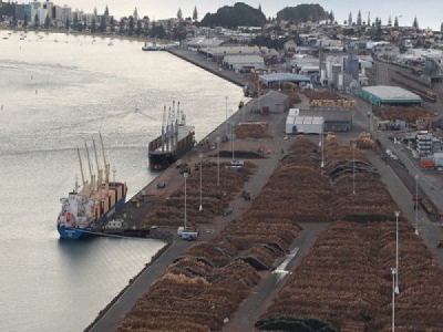
Managing dredge projects to minimise environmental impacts is an issue found internationally. A large dredging operation of Rohde Nielsen A/S – for New Zealand’s largest port of Tauranga – required strict limits on the turbidity during channel works. DHI worked with Rohde Nielsen A/S to provide a tool which estimated the turbidity level expected in the surroundings for any given dredge scenario with a combination of other dredging activities. This allowed operators to plan and execute dredging scenarios to estimate environmental impacts with more certainty.
The project involved the deepening and widening of shipping channels from 12.9 meters to 14.5 meters depth inside the harbour and 15.8 meters outside the harbour. Environmental aspects were a key element for the project.
The dredging was the final building block in a NZD 350 million capital expenditure program over a period of five years, completed in 2016. The dredging project, at a cost of NZD 50 million, upon completion allows New Zealand’s exporters and importers to access the savings for larger ships. It also allows for the Port of Tauranga to host giant cruise ships, such as the Ovation of the Seas, which docked in Tauranga on its maiden voyage to New Zealand in the summer of 2016/2017.
RN was aware of turbidity issues that had occurred during a previous capital dredging campaign and wanted to minimise this reoccurring. Stakeholders of the harbour expected the continuation of high integrity in the harbour, despite port operations and especially in light of the high use of the area for recreational activities in the summer months.
The Dredging Environmental Management Plan for the project set out limits on turbidity at six key monitoring locations inside the harbour, measuring real-time turbidity. These limits were used to trigger level 1 or level 2 management responses and also set absolute environmental limits that were not to be exceeded during the dredging operation.
Part of the Dredging Environmental Management Plan was the development of a Marine Impact Advisor Tool. This tool provided Rohde Nielsen with a web-based system that could deliver dredge spill model results for a particular user-defined dredging regime and pre-defined hydrodynamic conditions.
Based on an analysis of field data sediments, which included clay, fine silt, medium silt, coarse silt and fine sand, the portal allows the user to define the following via a user-friendly interface:
– Dredge location (including dual dredge option)
– Hydrodynamic condition (tide and wind)
– Type of sediment to be dredged
– Timing of spill (continuous or relative to tide)
– Type of dredging equipment
– Production rate and assumed portion of sediment type at the dredge site
The hydrodynamic tool used for these determinations was MIKE Powered by DHI’s MIKE 21 with a flexible mesh component. Bathymetry was derived from a combination of the latest Port of Tauranga survey data, LiDAR and most recent chart data – and was calibrated against available water level and current meter data.
Once the spill scenario was specified, the Marine Impact Advisor Tool used the information to populate a MIKE 21 Sediment Transport setup file on a web server and a sediment transport model is run for either a 2- or 14-day period, as specified by the user.
Such an approach could rapidly determine the likely envelop of turbidity levels that could occur for any given user-defined dredging regime in the context of the allowable environmental limits.
Using this took, RN successfully managed to complete the one-year dredging contract well within budget and time without a single breach of turbidity response level. The works were executed on time, in full compliance with the defined turbidity limits on all three-trigger levels and to the fullest satisfaction of all stakeholders.
Information provided by the Marine Impact Advisor Tool along with in-situ measurements of dredge material, frequent reporting on dredge volumes and online monitoring of turbidity at key sites in the harbour all became part of the adaptive management approach carried out during the execution of the works.
Source: DHI


