
Posted on March 2, 2017
With effect from 27 February 2017 and for a period of approximately 6 months, dredging operations will be carried out within the area bounded by straight lines joining the following co-ordinates (WGS 84 Datum) from (A) to (E) and the adjacent shoreline:
(A) 22° 20.325’N / 114° 06.902’E
(B) 22° 20.333’N / 114° 06.930’E
(C) 22° 19.853’N / 114° 07.093’E
(D) 22° 19.680’N / 114° 06.936’E
(E) 22° 19.709’N / 114° 06.901’E
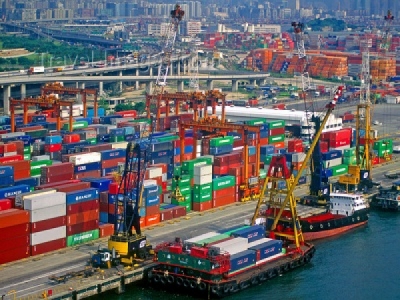
The works will be carried out by a grab dredger. Two tugboats and two split-hopper barges will assist in the works. The number of vessels engaged in the works will change from time to time to suit operational requirements.
A working area of approximately 50 metres around the grab dredger will be established. Yellow marker buoys fitted with yellow flashing lights will be laid to mark the positions of the anchors extending from the grab dredger.
Works will be carried out round-the-clock. Vessels engaged in the operations will display signals as prescribed in international and local regulations. Vessels navigating in the vicinity are advised to proceed with caution.
Source: GAC


